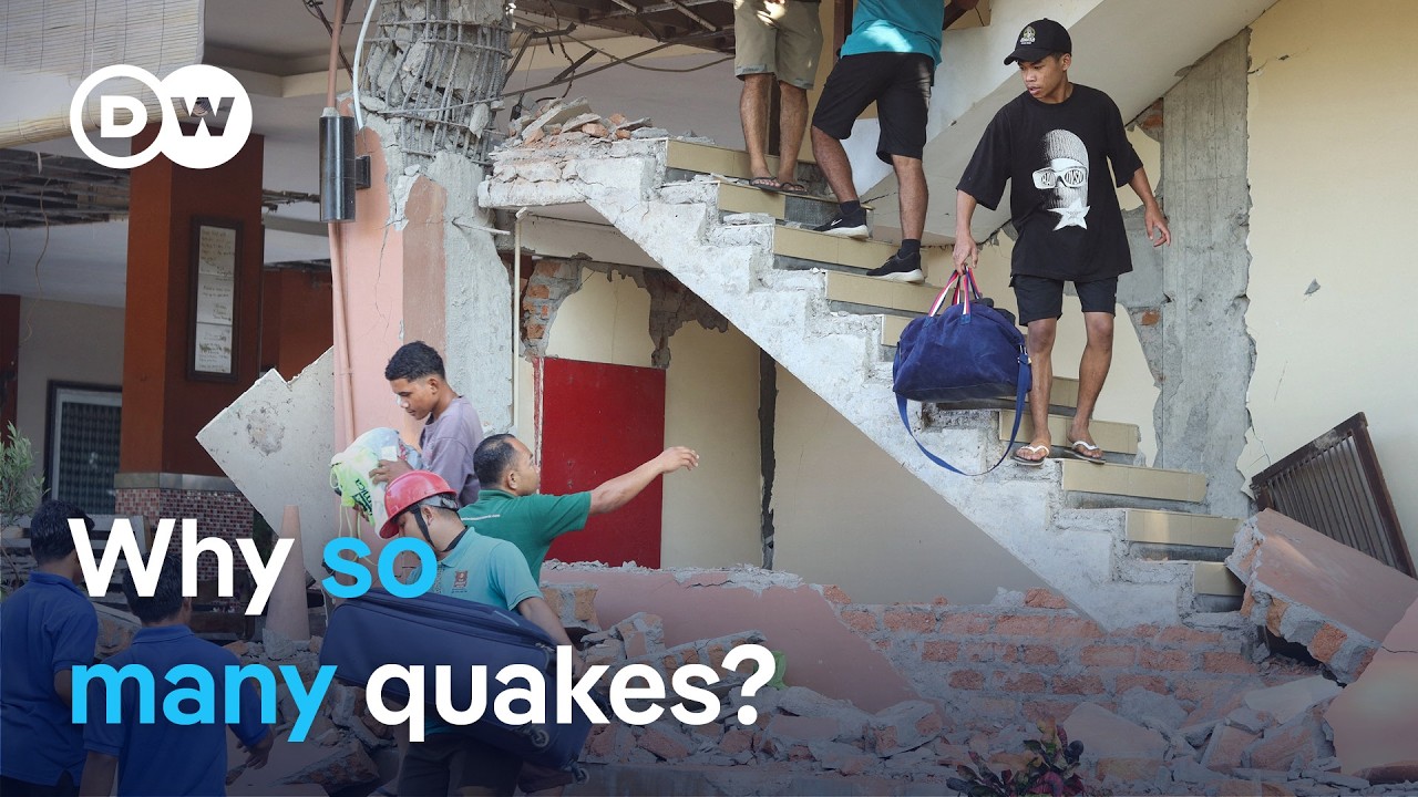
Indonesia continues to face significant seismic risks following a powerful 7.7-magnitude earthquake near Flores Island, which triggered building collapses and a tsunami alert now lifted. Journalist Kenya Winanti reports on the ongoing situation, while researcher Nuraini Rahma Hanifa explains the geological reasons behind the country’s frequent major quakes. Indonesia lies along the Pacific Ring of Fire, where multiple tectonic plates meet, resulting in high levels of volcanic and earthquake activity. This tectonic environment makes the region particularly vulnerable, especially for communities living in coastal zones with limited infrastructure resilience.
The discussion extends to recent seismic events across the Pacific Rim, including Japan, the Philippines, and western regions, underscoring the interconnected nature of these natural hazards. Experts emphasize the importance of improving early warning systems, updating building standards, and enhancing disaster response coordination. As urban growth and climate change amplify risks, international collaboration becomes essential. Despite the challenges, advances in science and the determination of local populations offer hope for better preparedness and reduced impact in future events.